Sam Berger · 12 October 2026
How Contour Gradients Shape Water Retention Patterns in Elevated Valley Systems
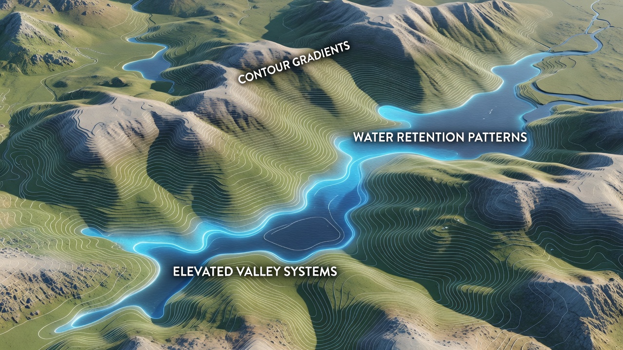
Contour gradients determine how water moves and collects across elevated valley systems, where slopes and elevation changes create distinct patterns of retention and drainage. Researchers track these gradients through detailed topographic surveys that map lines of equal elevation, and data from these surveys reveal how steeper sections accelerate runoff while gentler areas allow water to linger in soil layers and depressions. Studies from the United States Geological Survey illustrate that gradients between 5 and 15 percent often produce the most effective retention zones in mid-elevation valleys, where water infiltrates rather than flows away immediately.
Mechanisms of Water Movement and Retention
Water follows paths dictated by the steepness and curvature of contour lines, and in elevated valleys the combination of concave and convex slopes creates pockets where moisture accumulates over time. Steeper gradients channel precipitation downslope quickly, yet they also feed into flatter benches where sediment deposits slow the flow and promote infiltration. Observers note that valleys wth alternating gradient zones develop layered retention patterns, with upper slopes shedding water toward mid-slope terraces that hold moisture longer because of reduced velocity and increased soil depth.
Soil composition interacts directly with these gradients, since finer particles settle in low-gradient sections and increase water-holding capacity. Data collected through October 2026 from monitoring networks in the Rocky Mountain region show that valleys with mixed gradients retain up to 30 percent more soil moisture during dry periods compared with uniformly steep terrain. Vegetation roots further stabilize these patterns by binding soil on gentler contours and reducing evaporation rates in shaded depressions.
Regional Variations Across Different Valley Types
Elevated valley systems in alpine environments display sharper gradient transitions than those in foothill regions, leading to more fragmented retention zones. In the Canadian Rockies, for example, researchers documented how narrow contour intervals above 2000 meters create isolated snowmelt pools that feed lower meadows during spring thaw. These pools form because steep upper gradients deliver water rapidly into small basins bounded by flatter contours that trap the flow.
Australian highland valleys demonstrate similar dynamics on a different scale, where broader contour spacing allows water to spread across wider floodplains before draining into deeper channels. Government reports from the Bureau of Meteorology indicate that gradient-controlled retention in these systems supports seasonal groundwater recharge even when surface rainfall remains low. The process repeats annually, with each cycle reinforcing soil structure along the key contour lines that act as natural barriers.
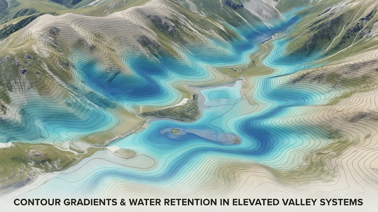
European alpine studies add further detail, with data from the European Environment Agency showing that valleys oriented perpendicular to prevailing winds experience enhanced retention on leeward slopes where gradients flatten. Wind-driven snow accumulates in these areas and melts slowly, supplying consistent moisture that follows the same contour-controlled pathways year after year.
Influences of Seasonal Changes and Long-Term Patterns
Seasonal shifts alter how gradients manage water, and summer thunderstorms produce rapid runoff on steep sections while winter snowpack builds more evenly across moderate slopes. Long-term monitoring reveals that valleys with stable gradient sequences maintain consistent retention even as overall precipitation varies. One study in the Sierra Nevada tracked a single valley over five years and found that contour-defined retention zones buffered the effects of two consecutive drought years by releasing stored water gradually through subsurface flow.
Land use changes can modify these natural patterns, yet the underlying gradient structure continues to guide water movement unless major earthworks alter the contours. Restoration projects often focus on reinforcing existing gentle-gradient areas to rebuild retention capacity without reshaping the entire valley profile. Figures from multiple watershed assessments confirm that preserving these zones improves downstream water quality by reducing sediment transport during heavy rains.
Conclusion
Contour gradients establish the physical framework that controls water retention in elevated valley systems through their influence on flow speed, deposition, and infiltration. Research across continents demonstrates consistent relationships between gradient steepness and moisture distribution, with data sets extending into late 2026 reinforcing earlier findings. Continued mapping and monitoring of these patterns support better management of water resources in complex terrain where small changes in elevation produce large differences in how valleys hold and release water over time.